Park «Mitino»
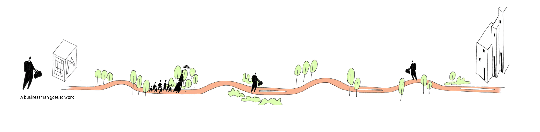
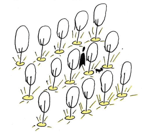
The concept of development of the territory of the park «Mitino». Nature itself should be the main instrument of transformation in the park. Everything that is being built must be grown, everything that encloses can be planted and after a while will form a natural fence. The architecture here is nature itself.
The mood and atmosphere in the park is also shaped through nature. Saturation with activities should balance the landscape and good mood. Park «Mitino», as an established organism, must develop on its own, a person adapts for himself only routes and adjusts the functions of the park.
Identification of existing problems in the park
General:
- aggressive urban environment
- «Lost» parts of the park that violate the integrity of the green area
- incorrect organization of the network of tracks (does not form paths and routes)
- some entrances are not connected to the city structure
- lack of software saturation
- Power lines
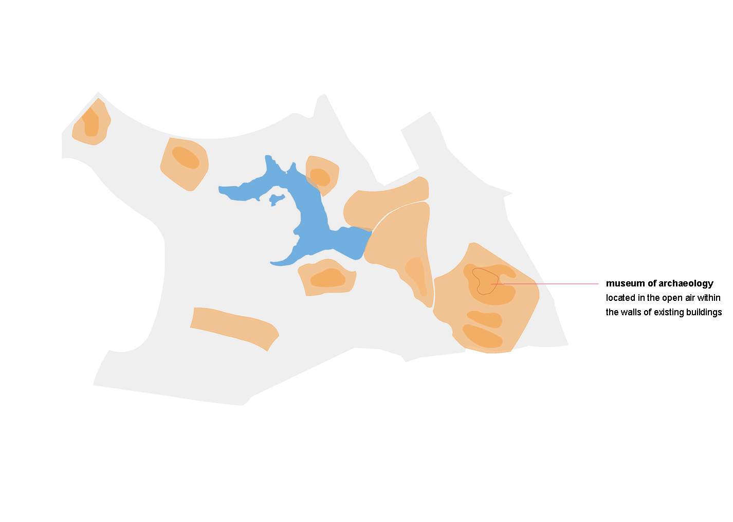
- no archaeological sites have been identified
Objects:
- cafes, go-karts, the central playground pollute the natural background of the park
- arrangement of the source requires processing
- artificial ponds are in disrepair and require rethinking
- the water tower needs restoration and rethinking
- houses - alien objects in the park
- objects should not be located on the territory of monuments
- playgrounds stimulate peripheral stay in the park, and do not have a natural environment (in fact, they do not differ from the yard area)
- the fence of the sports complex creates an obstacle to traffic and requires rethinking
- parking in the park must be moved outside, or landscaped
- the concrete fence also spoils the natural background of the park
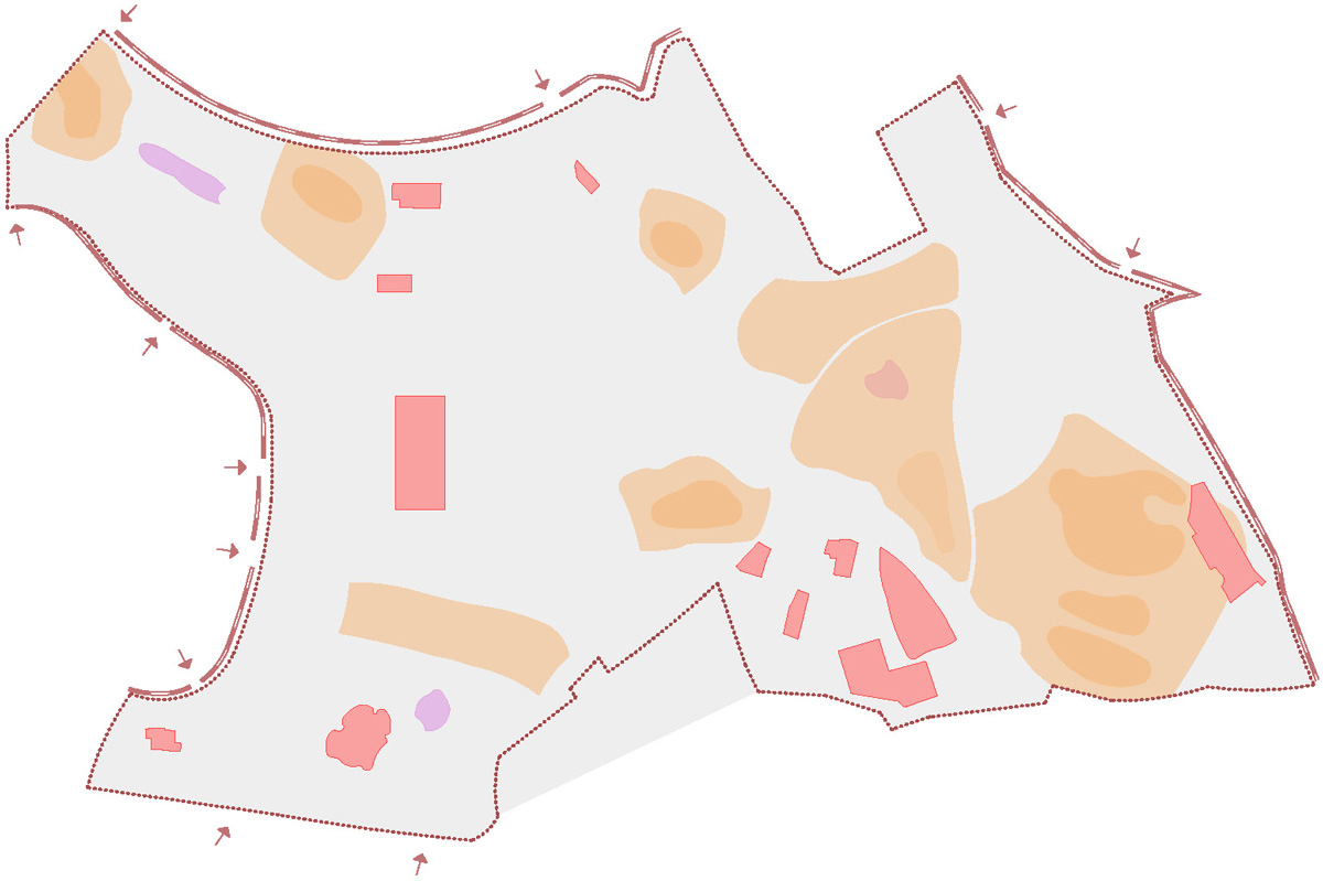
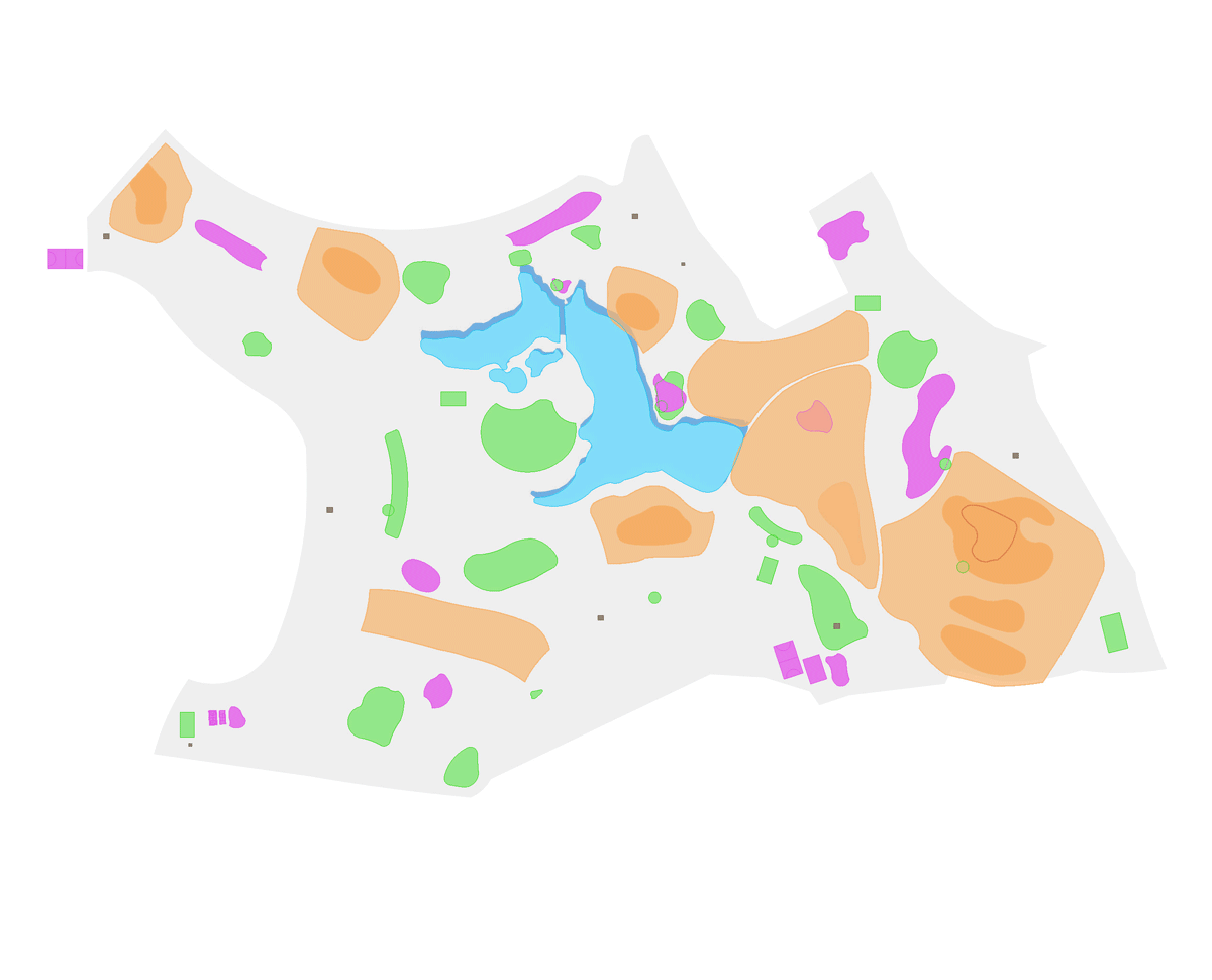
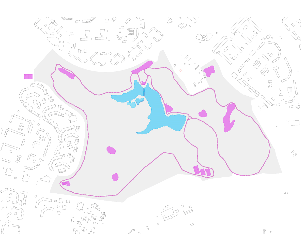
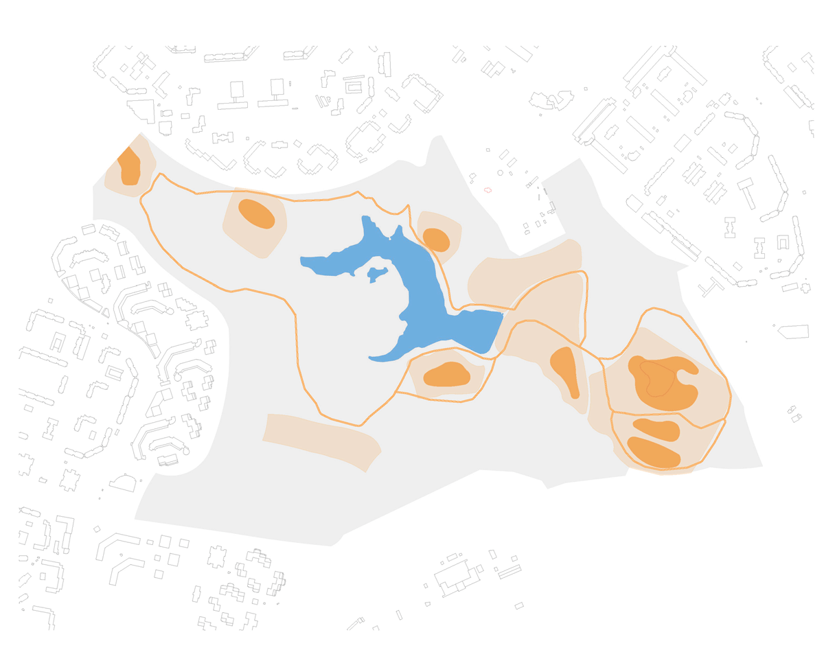
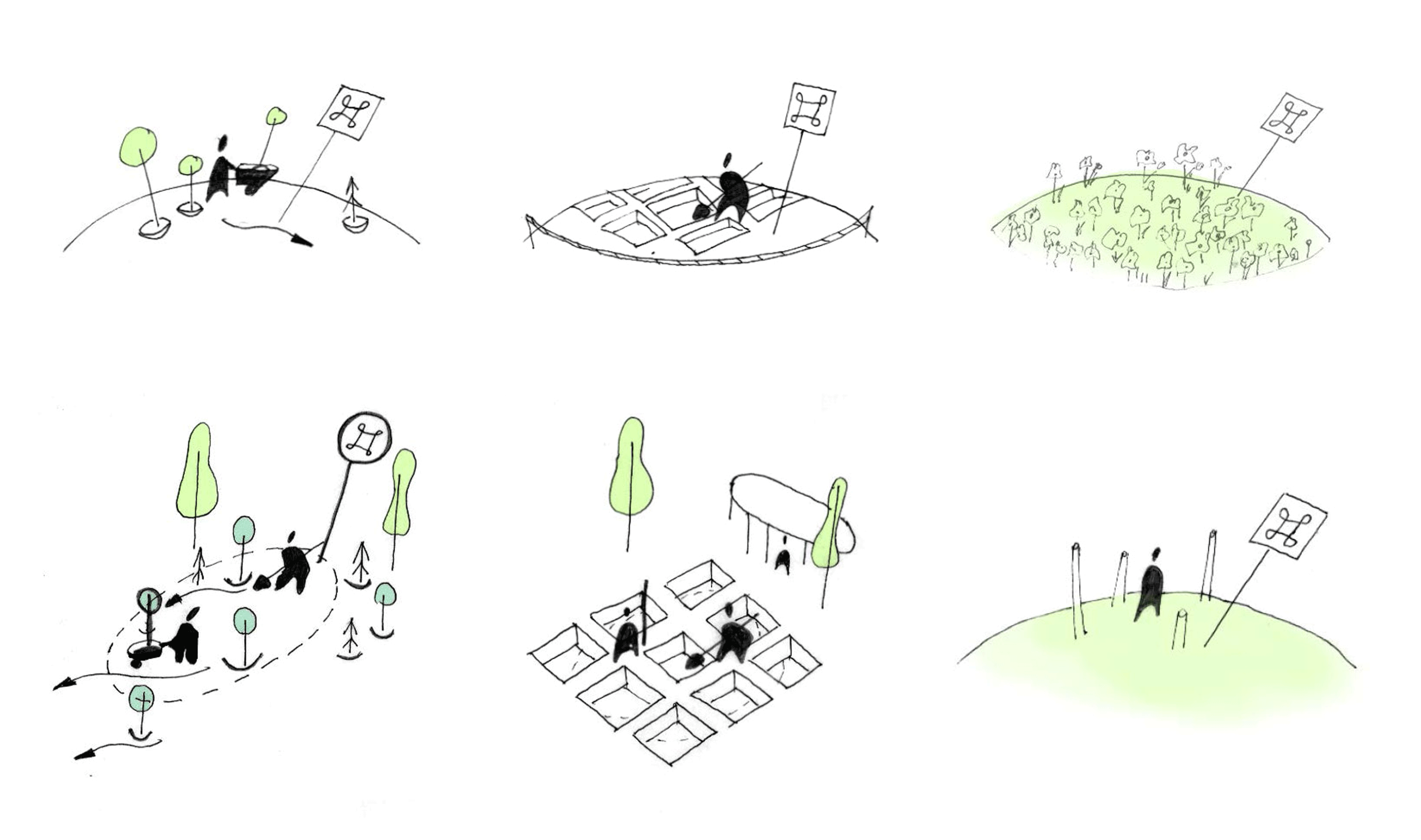
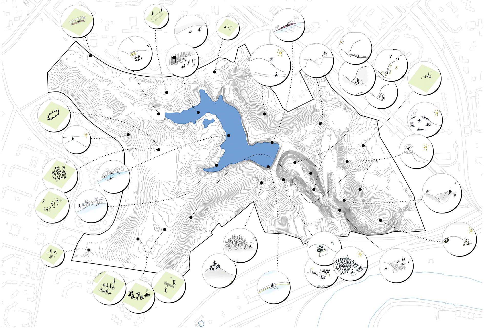
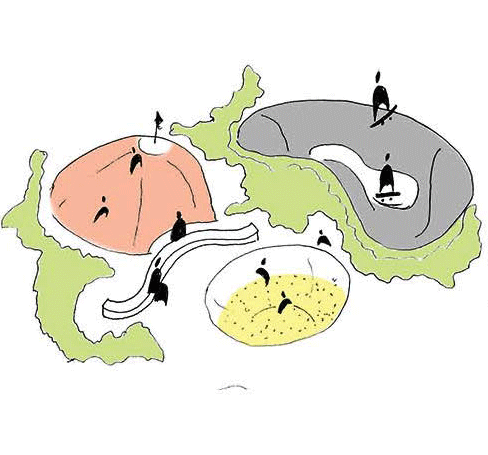
Functional zoning of the territory
- Sports facilities
| multifunctional sites | workout areas |
 |
 |
|
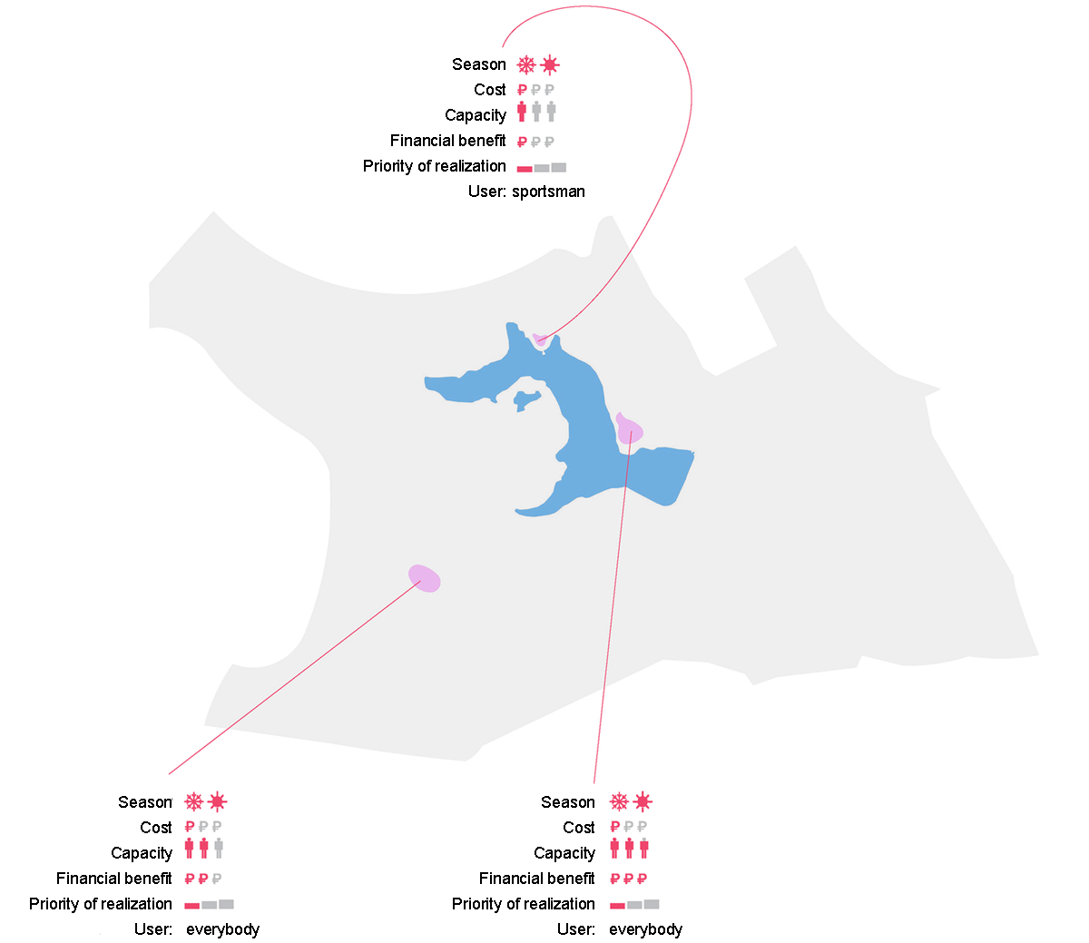
Criteria for choosing suitable locations: |
|
Dancing, yoga, fitness, martial arts classes can take place on the playgrounds.
|
|
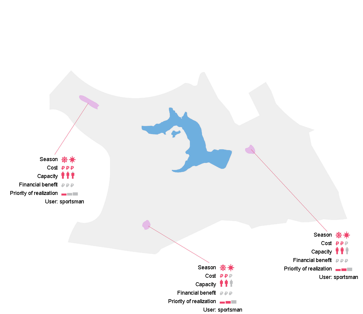
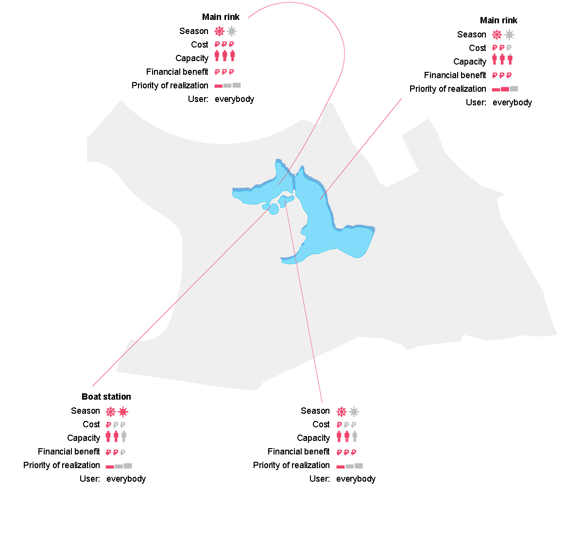
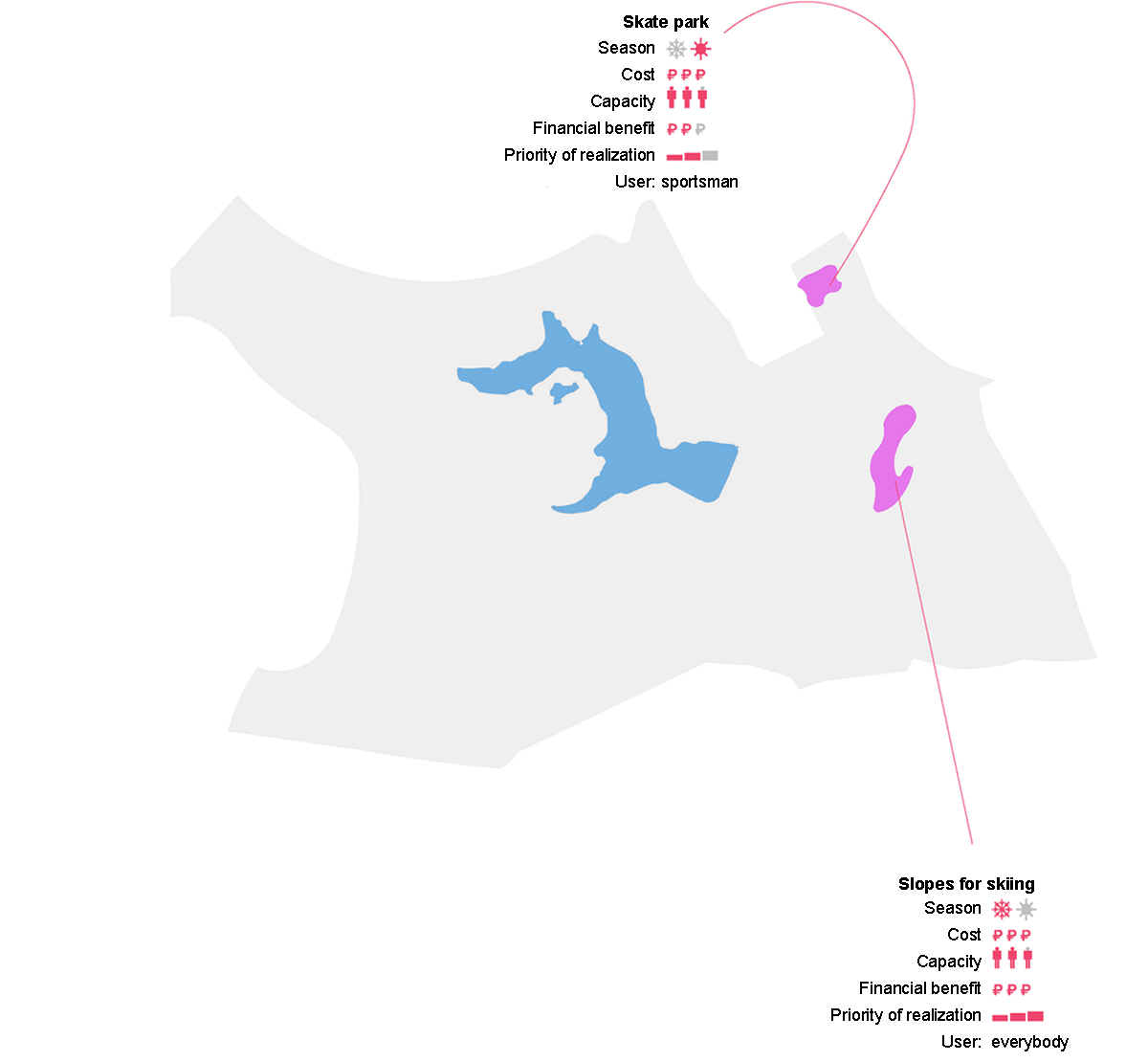
skating | extreme sports |
 |
 |
|
Criteria for choosing suitable locations: |
|
|
|
sports grounds
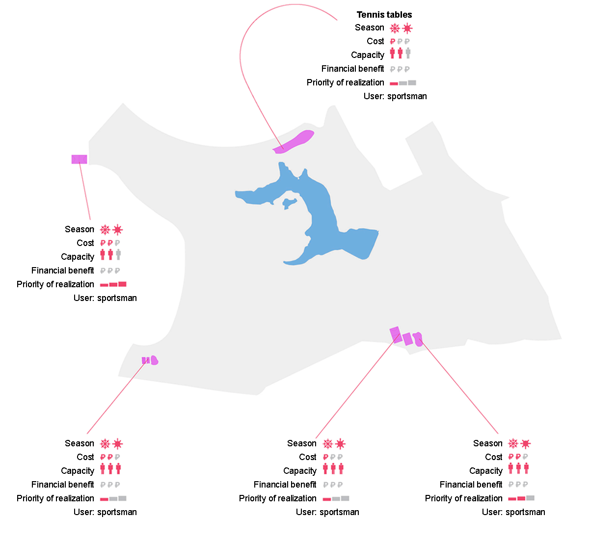
Criteria for choosing suitable locations:
- location outside the territory of archaeological sites
- flat terrain / steep terrain (depending on the type of activity)
- border location
2. Archaeological sites
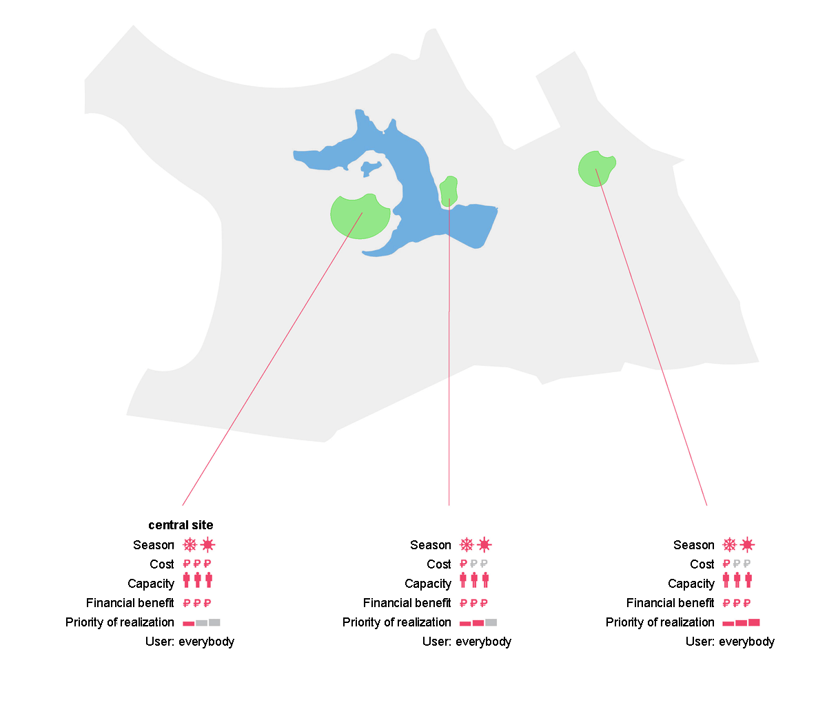
3. Culture
venues for public events | amphitheaters, cinema, theater |
 |
 |
|
Criteria for choosing suitable locations: |
|
|
|
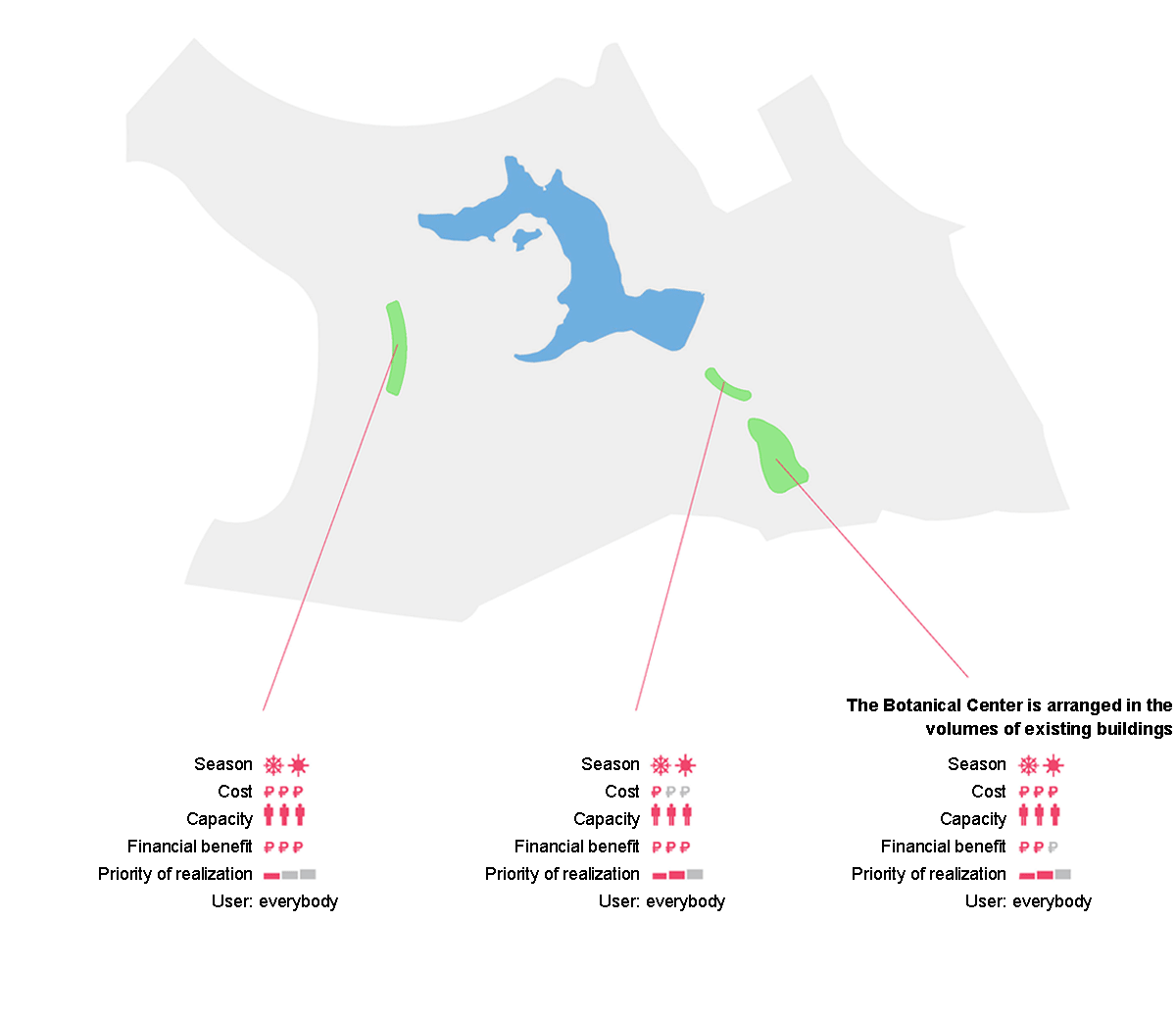
4. Architecture
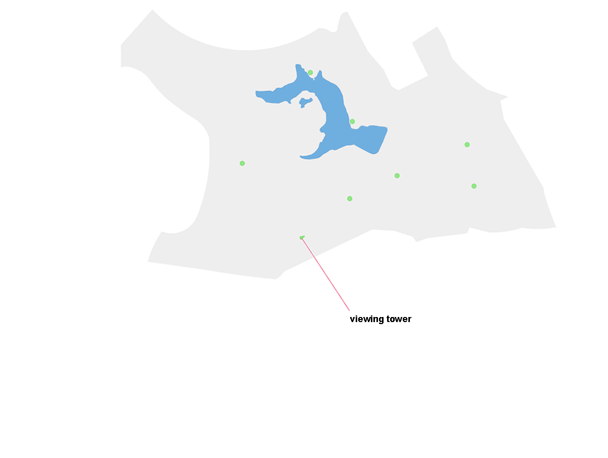
View points | Playgrounds |
 |
 |
|
Criteria for choosing suitable locations: |
|
|
|
Food parking, toilets
Criteria for choosing suitable locations:
food parking:
- border position
- flat area
The power supply system in the park is mobile. It is located in places of the greatest congestion of people. Food parking lots are allocated for storing mobile items
toilets:
- active relief
It is built into the relief, in order to make them less noticeable, they can serve as elements of the park's space: a retaining wall, a bridge over a ravine, a platform, etc.
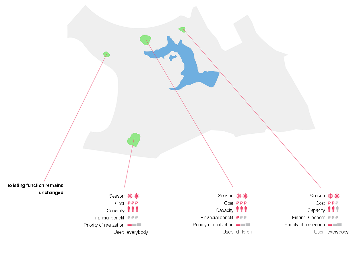
5. Leisure
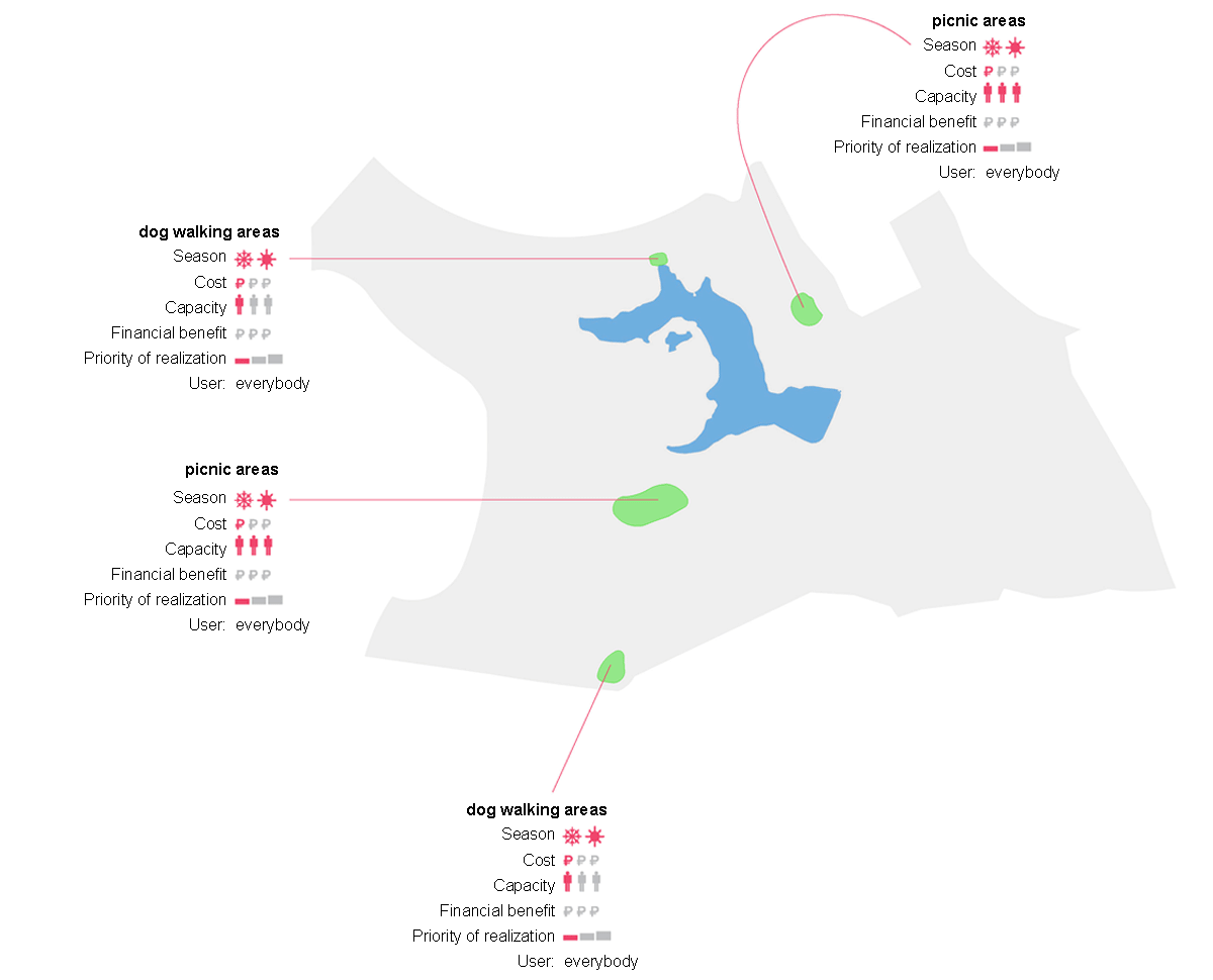
Criteria for choosing suitable locations:
picnic areas:
- location outside the territory of archaeological sites
- open area
- gentle relief
dog walking areas:
- location outside the territory of archaeological sites
- borderline position
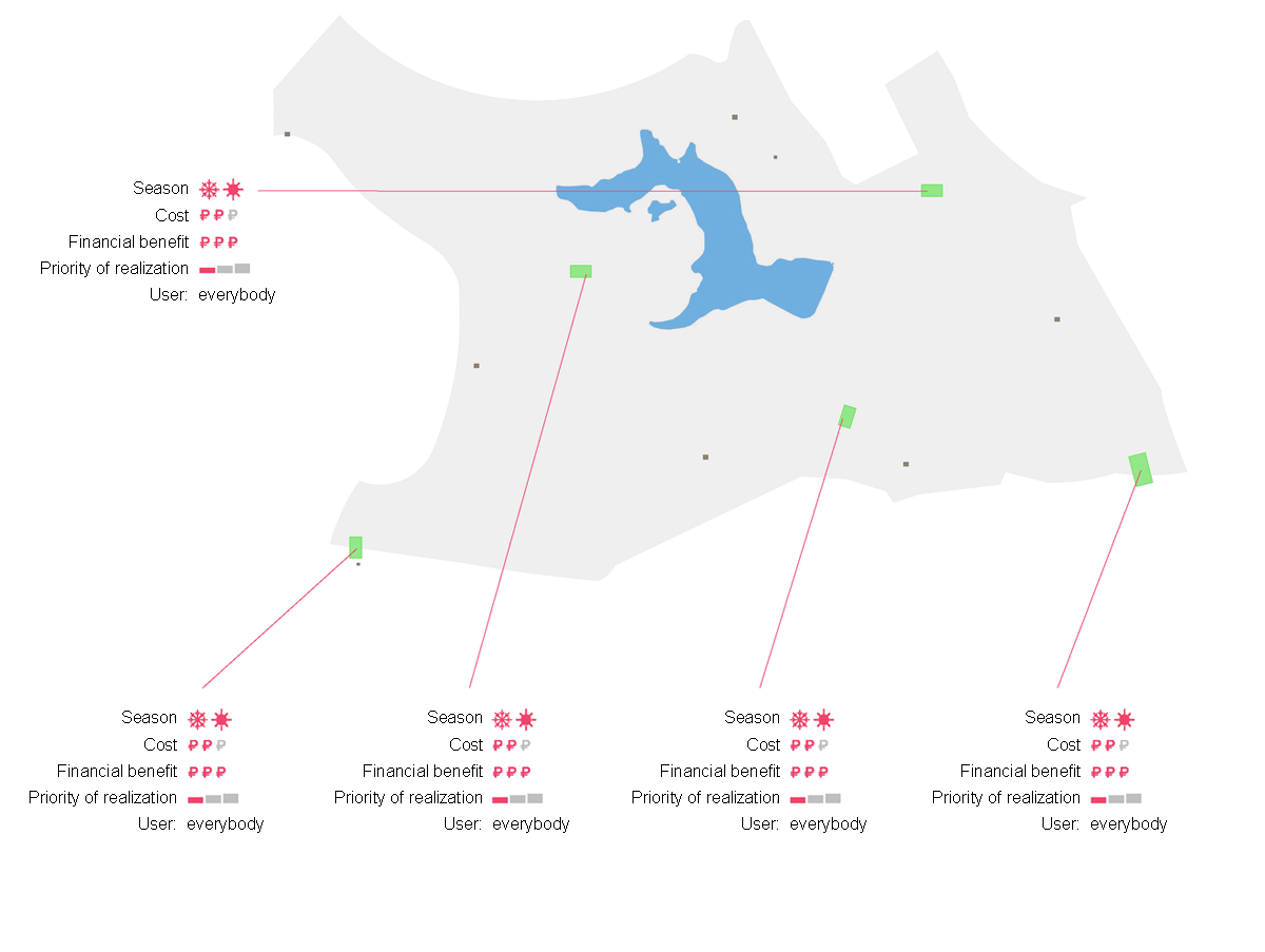
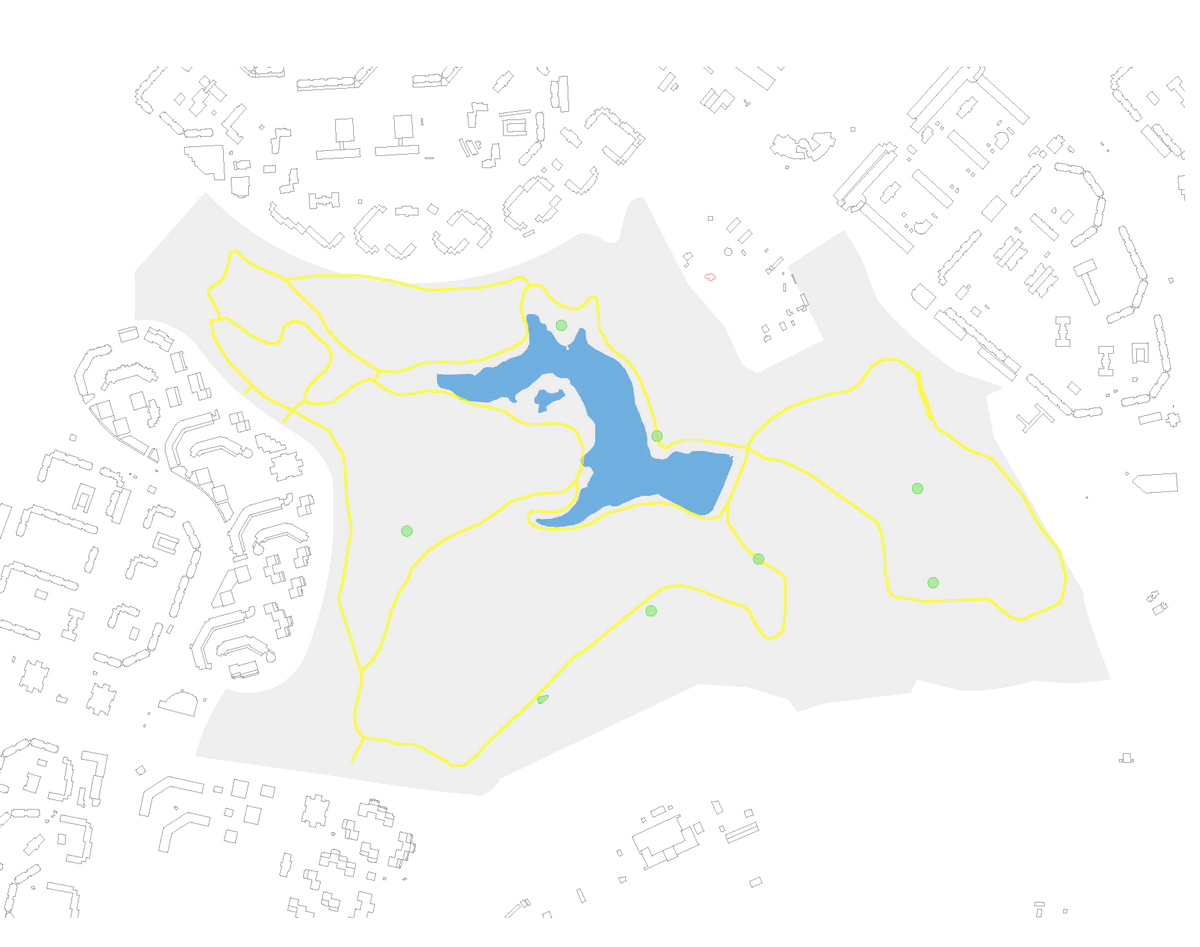
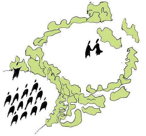
General scheme of functional zoning
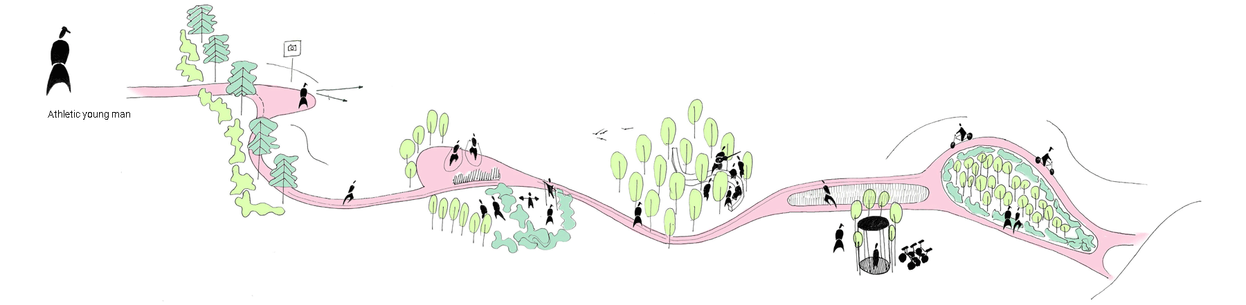
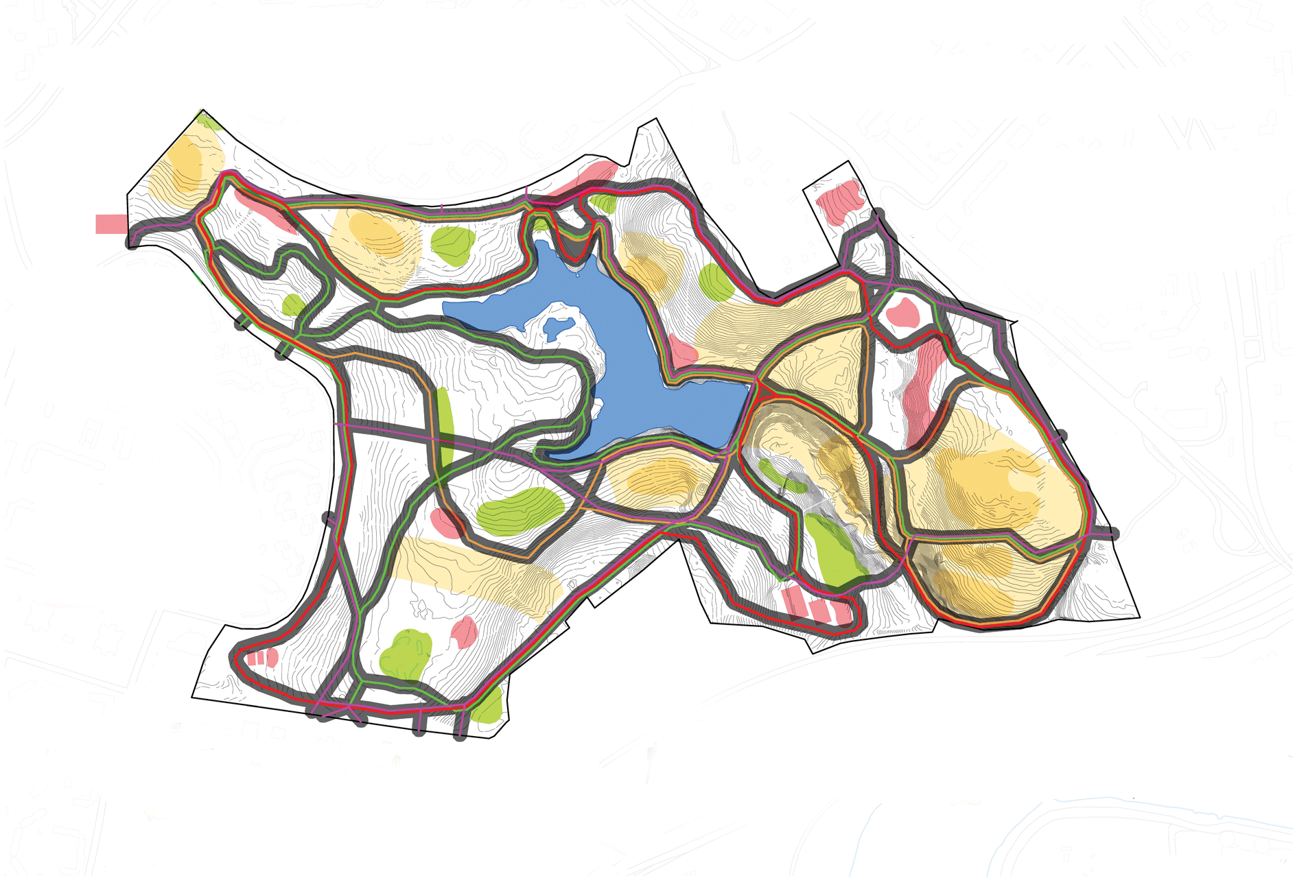
Thematic paths
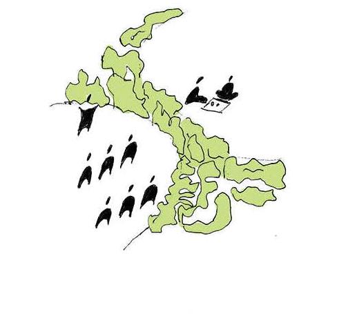
1. Entrance groups
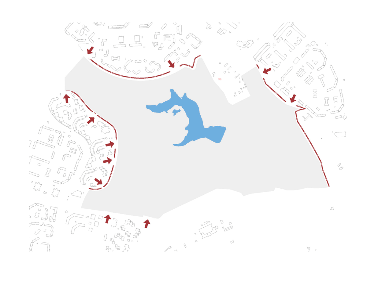
Criteria for choosing suitable locations:
- based on the urban environment, tied to the pedestrian network of paths.
- spontaneously organized entrances
- convenience of residents of the microdistrict
Characteristics:
- creation of entrance groups by thinning out green spaces - shrubs and pines (for more details, see the landscaping scheme of the park border)
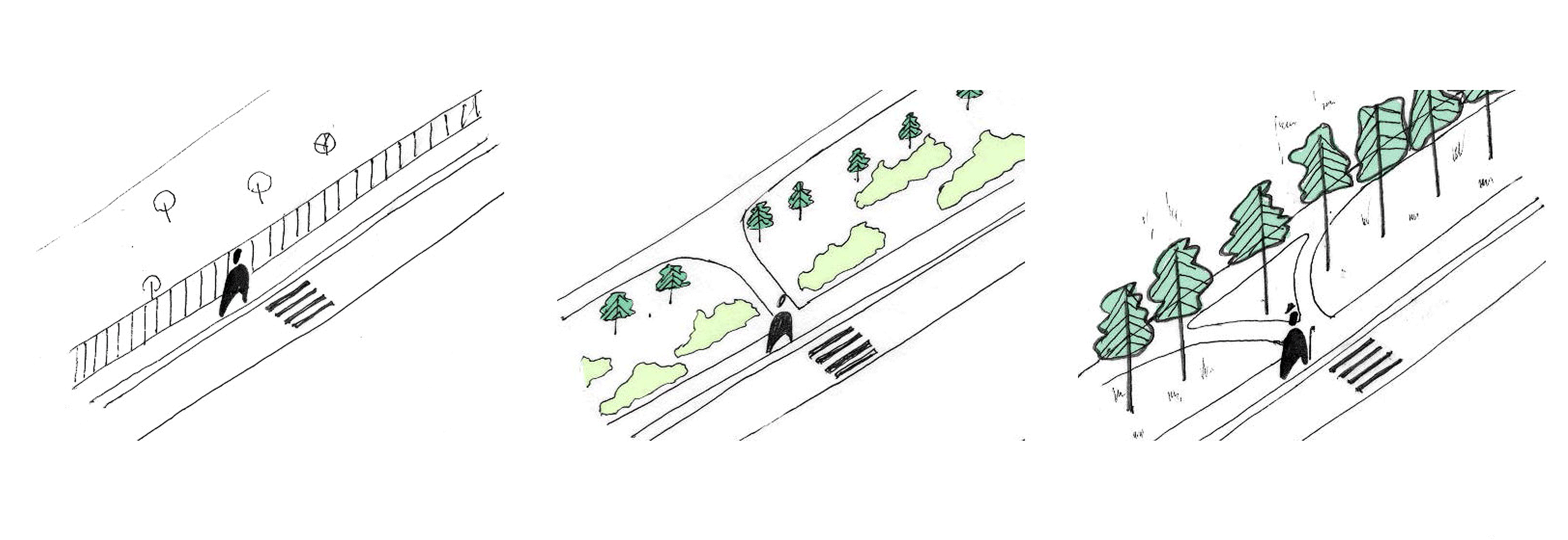
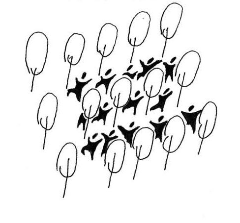
2. Sports route
Criteria for choosing suitable locations:
- the sports route runs close to sports points
- paths do not cross the territory of the monuments
Characteristics:
- paths are divided into cycling and running
- in winter, the cycle paths change to a ski trail, and the flat part of the cross-country trails becomes a skating rink
- sports grounds are strung on the route
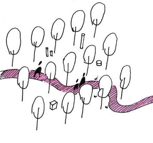
3. Archaeological route
Criteria for choosing suitable locations:
- archaeological paths surround the monuments, passing as close as possible to them, but without crossing
- paths do not cross the territory of the monuments
Characteristics:
- an open museum is arranged along the paths (the place and quantity will depend on the finds)
- information stands and maps will be installed
- silhouettes of mounds, settlements remain, emphasized by planting flowers, grass or trees, in order to highlight the historical place
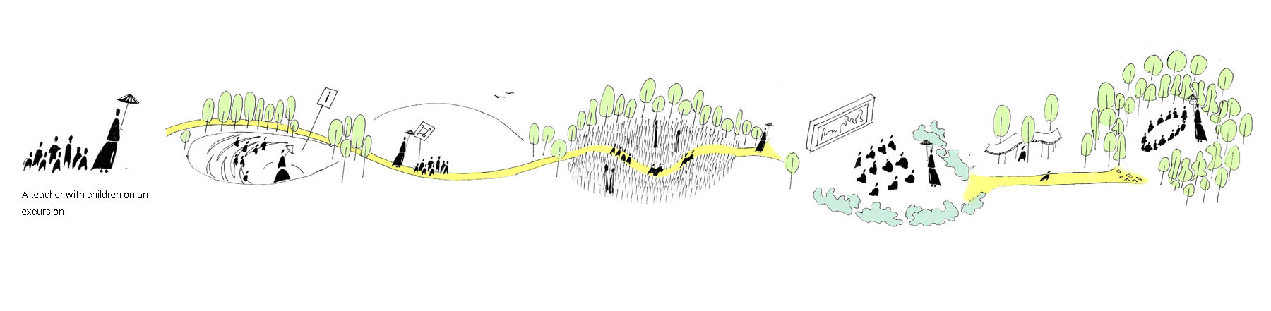
4. Walking route
Criteria for choosing suitable locations:
- the route connects to a network of viewpoints
- paths do not cross the territory of the monuments
Characteristics:
- the walking path passes through the most picturesque places and serves as a connecting infrastructure network
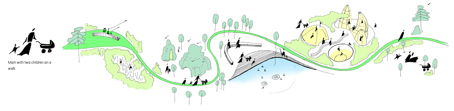
5. Fast route
Criteria for choosing suitable locations:
- connects the input points in the most direct paths considering the terrain
- paths do not cross the territory of the monuments
Characteristics:
- the route creates the fastest paths for pedestrians through the park and attracts more residents to the park
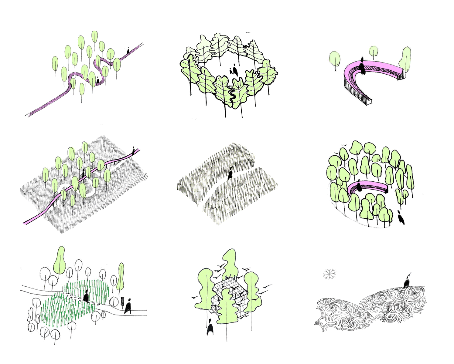
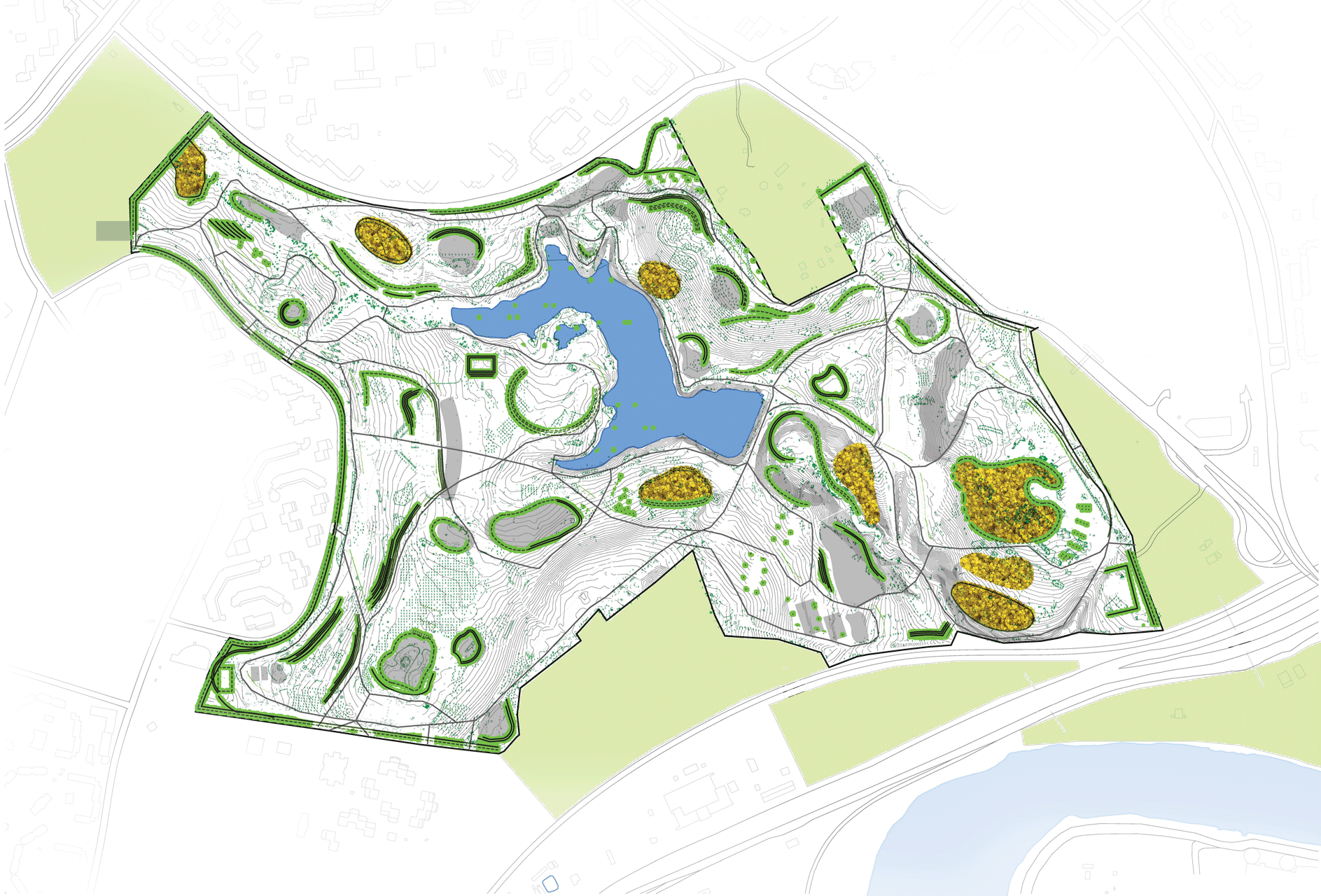
Environment elements
Description of the approach:
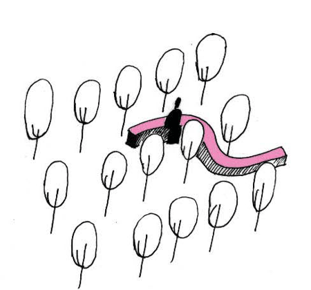
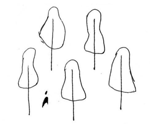
Since in many places of the park it is impossible to build architecture in the usual sense, greenery is used as a space-forming element. With the help of green spaces of various types, a certain atmosphere of the place is born. Architecture in the usual sense is being replaced by natural, cultivated. Densely planted trees create an interior cozy place. Trees planted in a row create a transparent border. Evenly planted trees allow you to wander among them, as between columns. Tall grass is the perfect fence to keep you from getting off track. The spatial organization of the park is based on this approach.
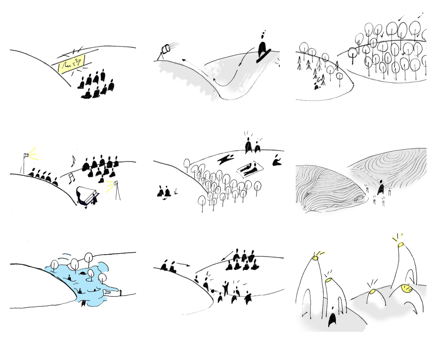
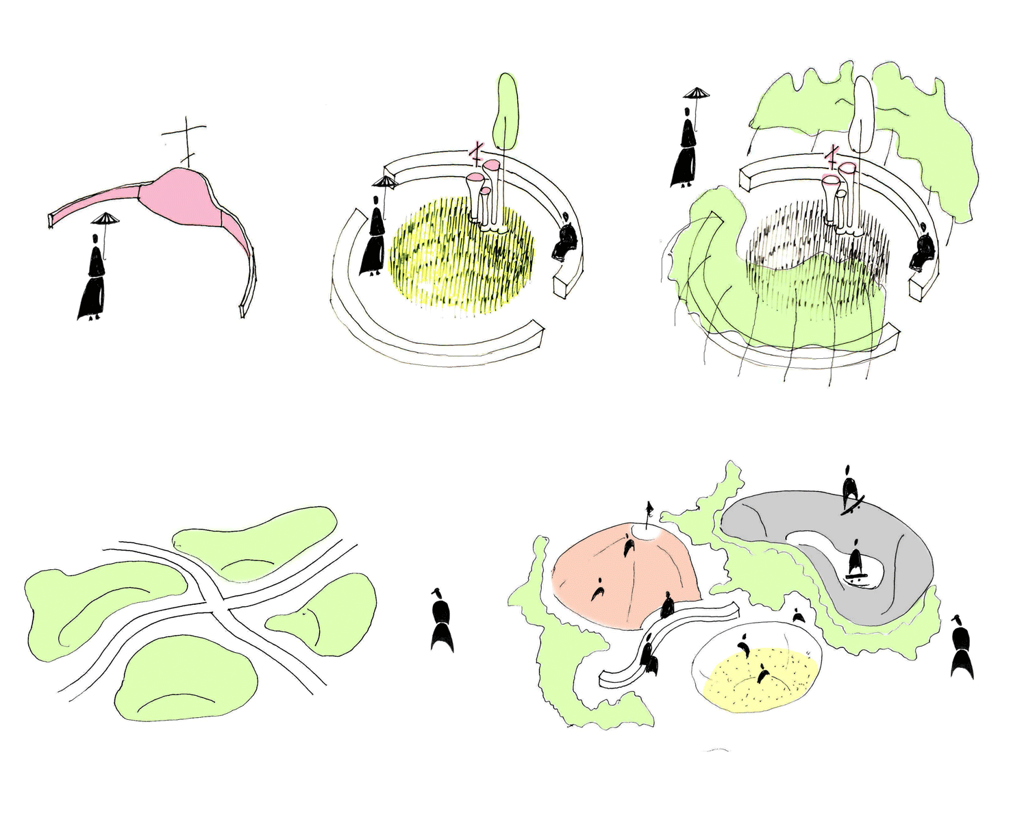
1. Use of relief
- Hill
The function can be changeable; the main thing is the relief.
The hills can host various mass events, open-air movie screenings, art installations, etc.

- ravine
The ravine has two principal points of view: above and below. When viewed from below, the ravine surrounds, creates coziness, calmness and silence. From the top point, the ravine opens up a panoramic view. A ravine is a deeper space, therefore, it is less accessible and thus more secluded.
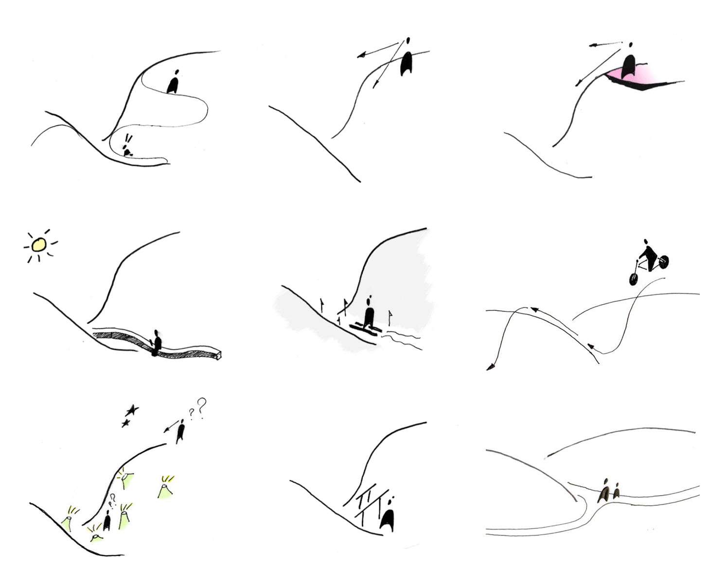
- two hills
Two hills, in contrast to the ravine, lie at the same level as the paths, respectively, they dispose to more widespread and active use.
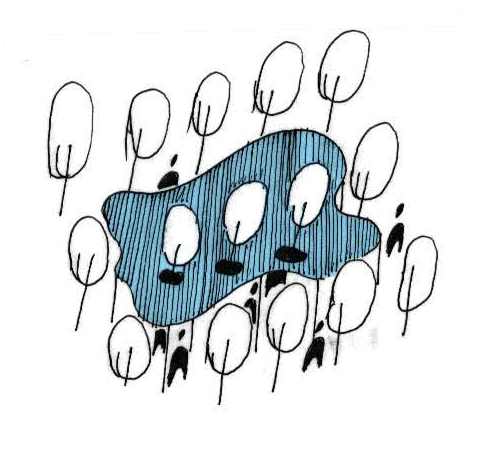
- green islands
Natural elements have an important and unusual parameter for architecture - variability. Some planting starts early so that the pavilions and spaces begin to grow.

2. Archeology
The first stage of work with archaeological sites is the preparation of territories, replanting trees and cleaning, then the stage of excavation. The sites of the monuments remain clean and untouched. Archaeological work will not interfere with the development of the park. After the excavations, work with the exhibits will be carried out, ideas for the exhibition, respectively, will be associated with the finds. The restored landscapes will remain free after excavation, covered with grass or flowers.
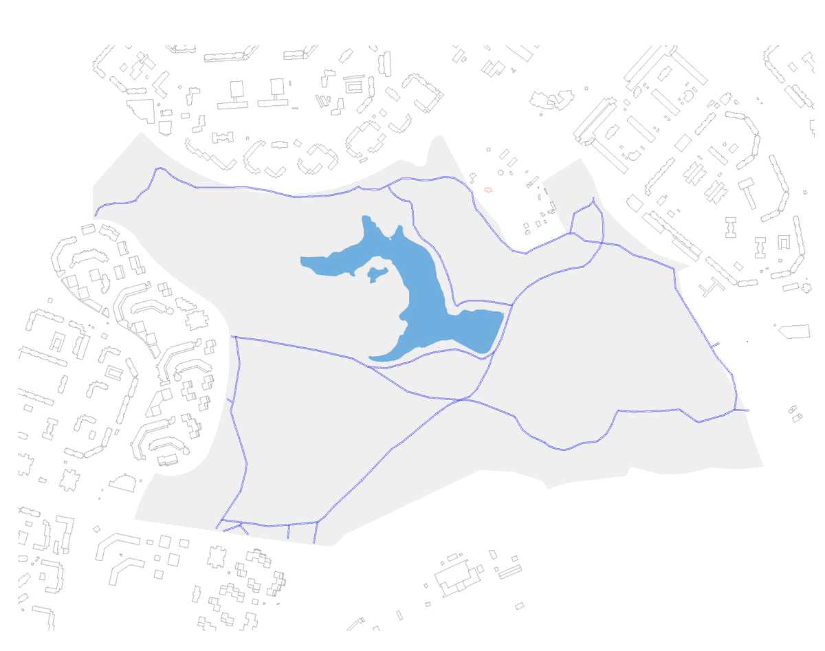
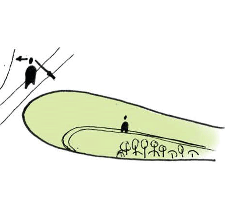
3. Borders
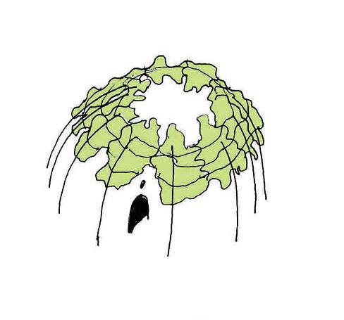
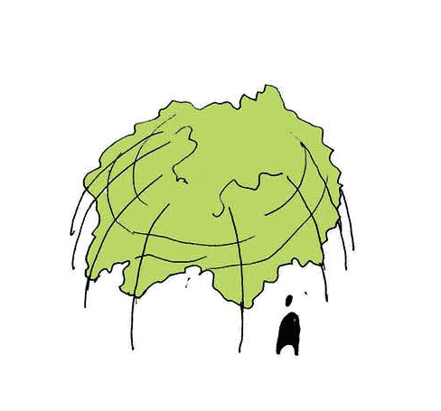
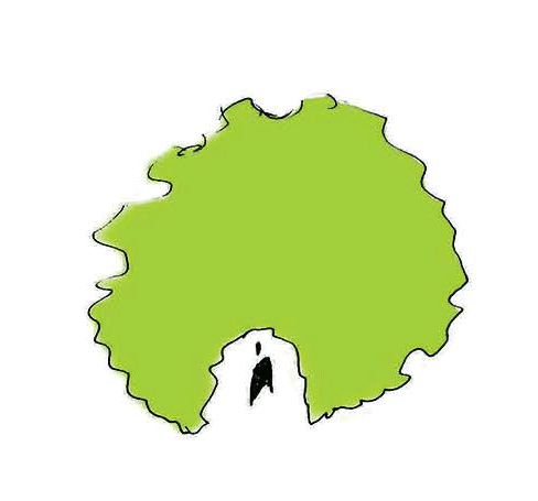
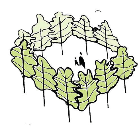
There are two types of borders: city and water. The city border is a complex and important element of the park. It should insulate enough to keep the park out of the urban environment, but at the same time, it should be transparent in order to attract attention to what's inside. Today the border of the park is a metal fence. It is proposed to create a border with greenery. The first stage is to plant bushes and pine seedlings. They maintain eye contact. Then the growing trees displace the overgrown shrubs. Now the border exists at the expense of the trees, and the park is visible through the unbranched trunks of the pine trees.

4. Architectural forms
5. Lighting
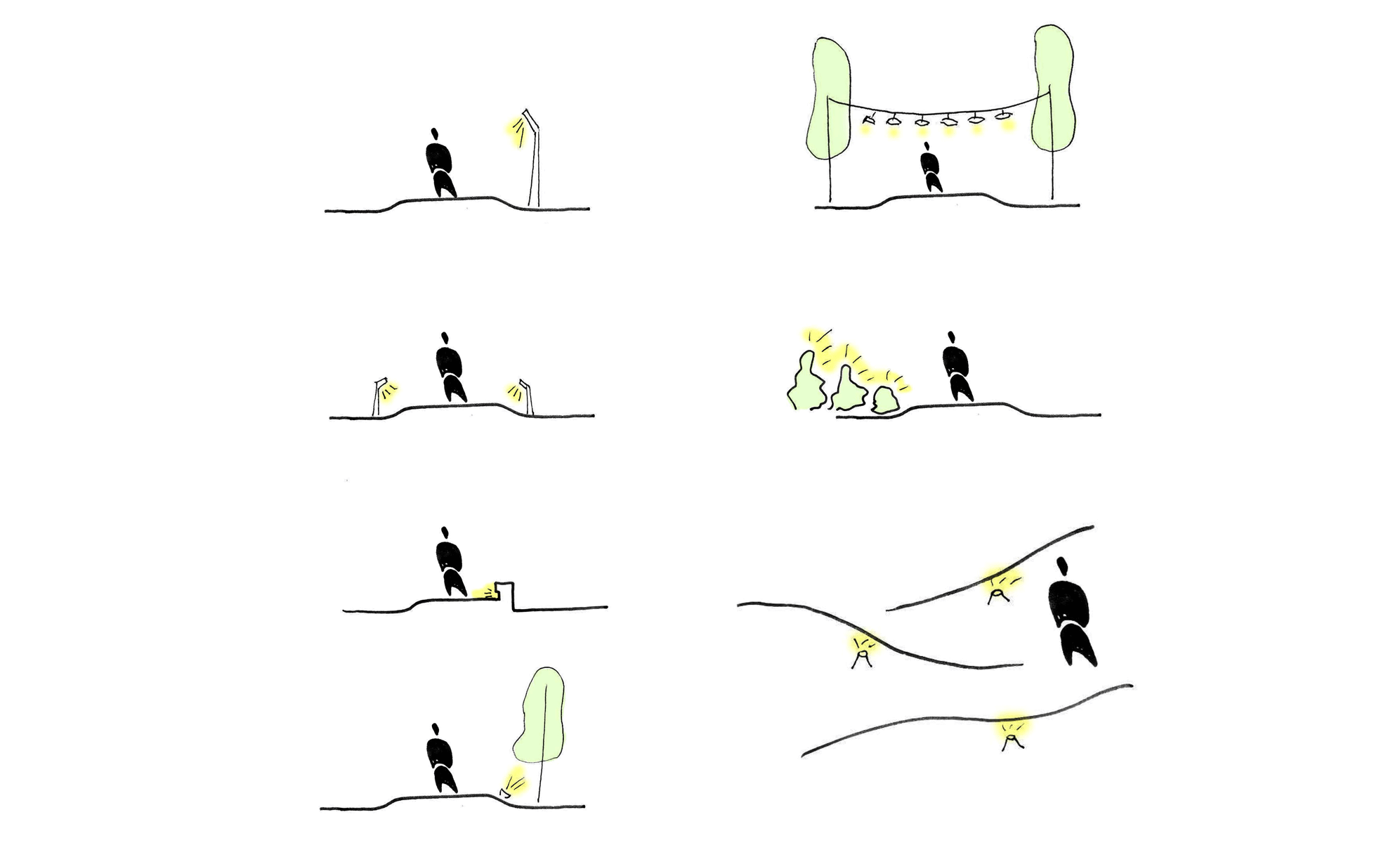
Using different types of lighting helps to enhance spatial schemes. For example, on a fast route, the most comfortable lantern lighting. For a sports route, it will be convenient to illuminate the tracks from both sides. For an archaeological route, relief illumination is preferable, and for a walk, light linear illumination along the path.
Future development of the park
-
Year 1. Unlimited possibilities of functional zoning in the existing landscape:
-
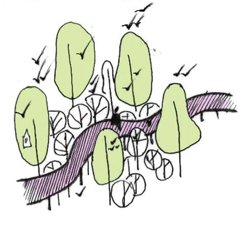
2-4 years. Revitalization of the entire environment + adjustment and differentiation of travel routes:
 |
fast route |  |
walking route |
 |
sports route | educational route |
-
5-10 years. We do not build, we grow spaces (+ add quite a few necessary SAFs):
необходимых МАФов) :
-
How to grow a comfortable and varied environment in 15 years (see in conjunction with the growing space scheme):
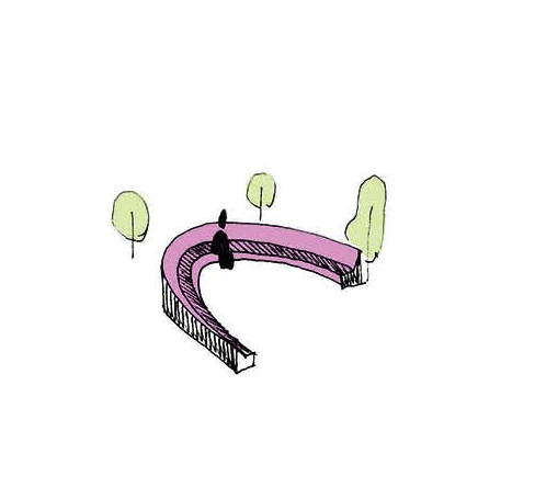
1. How to beat regular landings
curved bench
lighting will turn trees into art objects
tree trunks - supports for the tent pavilion
deliberately uneven path
performance area
2. What to do with an overgrown fountain

3. How to grow spaces
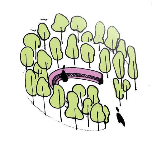

On one site it is proposed to grow a forest of birds with an area of 50 м²:
the status quo
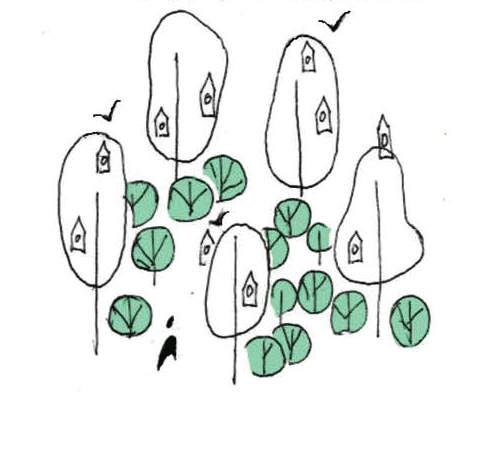
bushes are planted under a group of trees - now it will be safer and more comfortable for the birds, birdhouses are being built
in order not to affect the ecosystem, but to be closer to the birds, a light wooden bridge is laid
4. How to make functions more convenient and understandable without architecture
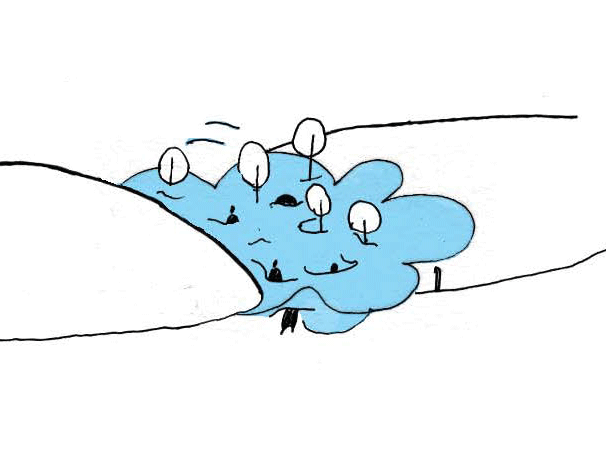
- How to create natural art objects a cloud from the generated fog in a secluded place in the park - it is always cold and damp here, and in winter it's great to ride on ice
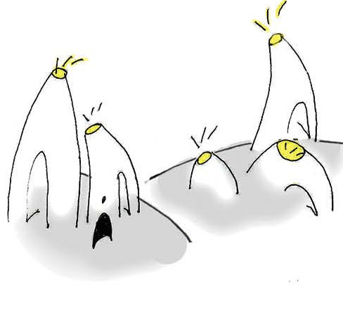
6. How to grow pavilions
you can also plant trees along a given contour and tie branches to them while they grow
tall rye can also become a pavilion if you go inside
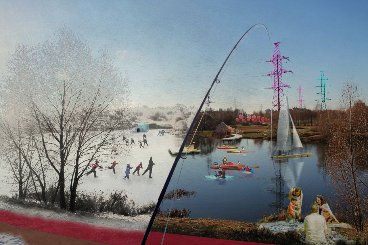
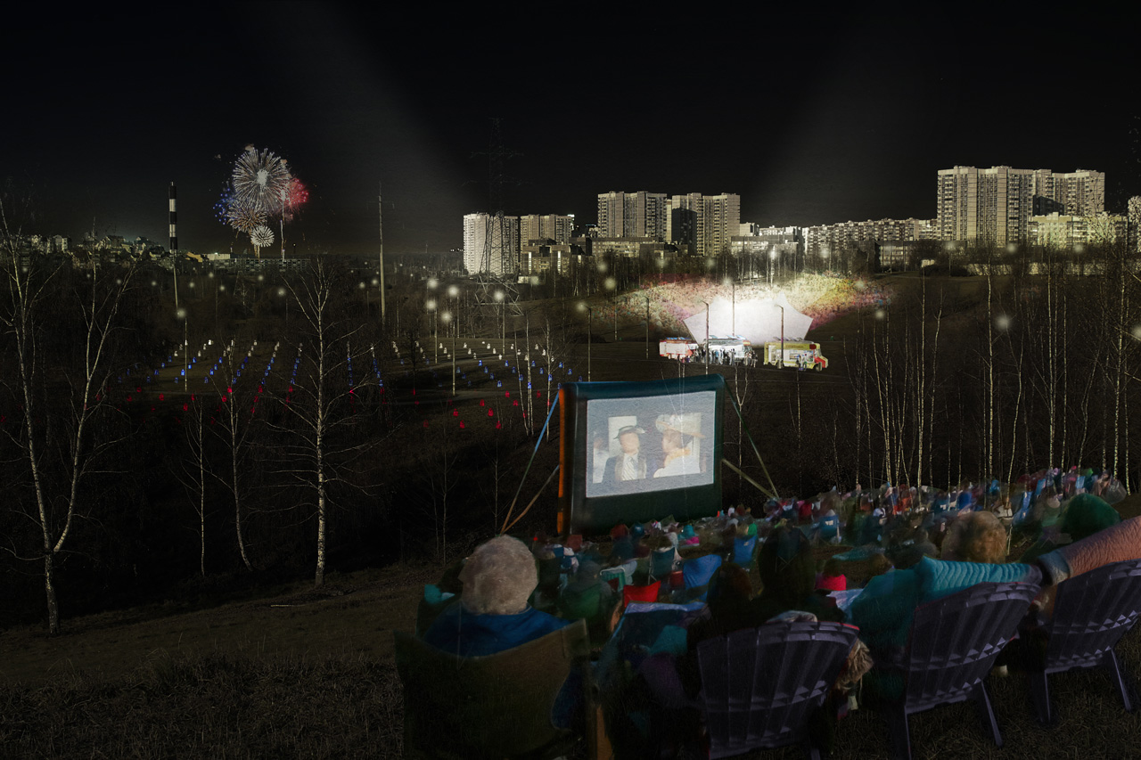
Visualizations